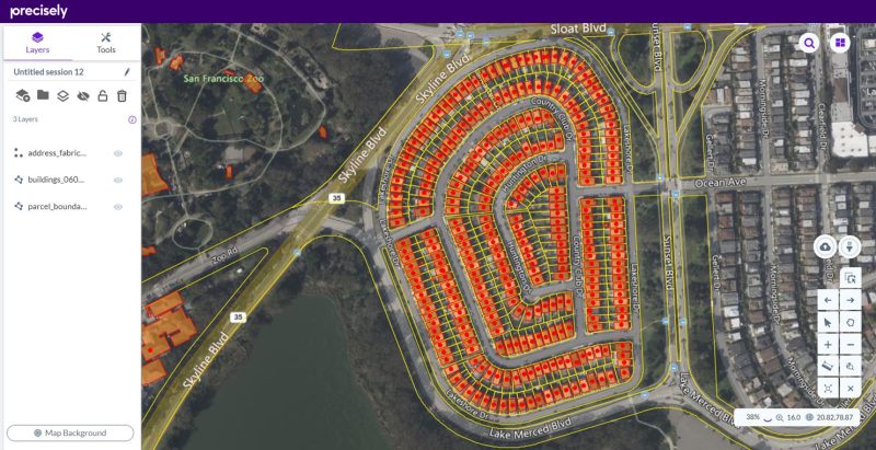
The usage of GIS and business intelligence (BI) together is aiding businesses today in improving upon their operations, productivity as well as cost reduction like never before. By using applications that combine GIS and BI, companies can now track employees, assets, equipment all the while collecting and interpreting data in real-time that helps them in making informed decisions.
By storing geographic information digitally, GIS helps businesses in making effective analytical decisions, taking into consideration assets in the field. While a simplified example of GIS could be Google Earth or Apple maps, by merging a company’s database with sophisticated GIS hardware and software, businesses can now visualise existent relationships between customers, employees and suppliers much more effectively, which helps them in improving upon their profit margins and overall organisational efficiency.
One of the fastest-growing areas in the geospatial industry, Business Intelligence can be categorised as a technology-driven process, that helps organisations in analysing and reporting raw data to make informed decisions. As a business, you can gain the following benefits by using GIS and BI in conjunction:
- Gain a cohesive view of your organisation’s information needs, so that you can identify as well as prioritise crucial initiatives.
- Monitor key business processes efficiently
- Instantaneous imparting of operational knowledge
- Be able to organise reports and models, that give you a business view of the data collected
- Enhance your analytical as well as decision-making capacity
- Be able to manage your organisation’s performance effectively
Whether public or private, a variety of industries can use GIS and BI applications being integrated into an enterprise information system framework, to be able to interpret more factual spatial information, that pertains to logistics, sites, facilities management, decision making, planning, marketing, etc. Considering the fact that almost 60% – 85% of data that is used by businesses, includes within it spatial components, the utility of such applications is manifold.
Some of the areas wherein GIS and BI can be particularly useful include:
- Customer Relationship Management: GIS can be used to define spatial relationships, that can help in analysing customer shopping frequency, adjusting operating hours based on the shopping times of customers, alter locational pricing as well as inventory needs, identification of locations that would be beneficial for any additional storefronts and last but not least, even in the performing of targeted advertising campaigns.
- Improvement of Data Accuracy and System Management: An example that can be taken for how GIS and BI together can improve data accuracy in system management, is in water utility. The business has 90% of its data connected to geospatial location, as services must always be aware of the location of the pipes, walls, metres, etc. Apart from this they also need to be aware of the usage patterns of the customers, and wherever there is a need for maintenance and the locations where the crews are active.
GIS can help users in viewing and analysing information depending upon spatial location along with its relationship to other features that are present, quite often where there might not be any other relationship or association available. Hence, when it comes to businesses, a GIS system can be enhanced further to serve as a pivotal link for system management, as it can support reporting activities, interfacing with other applications as well as business processes.
- Marketing: A lot of businesses today are utilising GIS for their marketing intelligence means. Helping businesses and customers in their regional advertising and promotions, such as the location of billboards, local advertisement needs based on regional demographics along with customisation of advertising for promotion of special events etc. GIS can also be used by agencies for nationwide scale product launches, customer mailings, advertising, targeted marketing, media selection, etc.
- Enhancing Delivery Efficient and Inventory Management: GIS when combined with Business Intelligence, is increasingly becoming critical for addressing any issues related to logistics and transportation. From optimisation of delivery routes by identification of the most efficient route for multiple deliveries on the basis of distance, speed limits, traffic sign, timing, etc. to creation of transportation network models that factor in operations research and production management etc. GIS can help in supporting decision modelling activities and relaying all the information in a user-friendly manner.
While the aforementioned applications are just a few examples out of many – GIS in conjunction with Business Intelligence can be used across industries and applications and help businesses in increasing their profits significantly and reducing their expenditures considerably by improving upon the efficiency and effectiveness of their business plan.